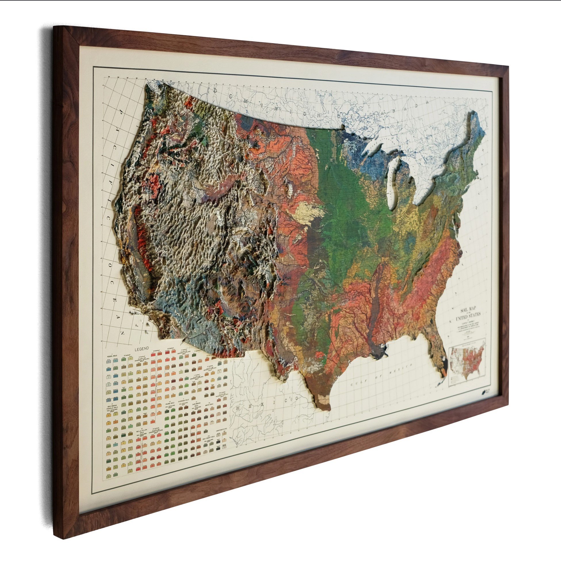
Muir Way - USA 1931 Raised Relief Map
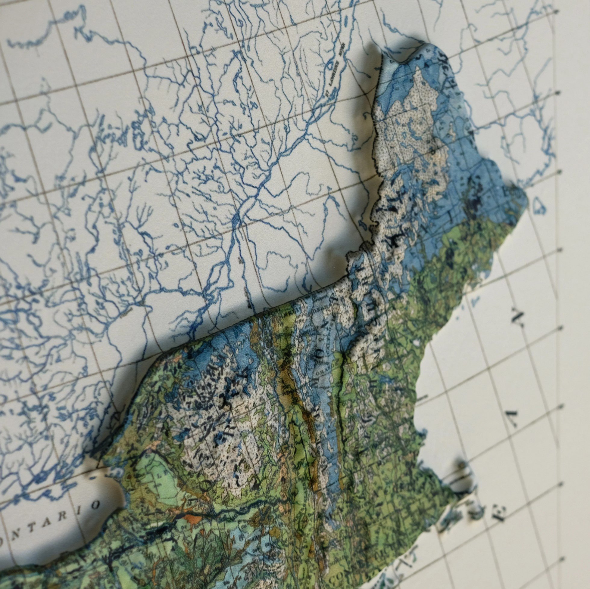
Muir Way creates a tactile method of exploring the lower 48 with their 3D raised relief map created from a 1931 soil map. Individually crafted in San Diego including a handmade wooden frame. It’s easy to appreciate the variety of American landscapes using this piece of history measured in a third dimension.


